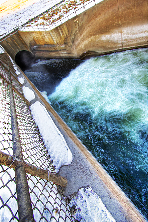
Frigid Rush : February 01, 2009

Image Data
File Name: 50D_07708
Model: Canon EOS 50D
Lens: Canon EF-S 10-22mm F/3.5-4.5 USM
Date: 01.24.09 4:41pm
Focal Length: 10mm (16mm)
Shutter: 1/200 s
F-Stop: F5.6
ISO: 200
Ex Bias: -2/3
Program: Aperture priority
Metering Mode: Evaluative
Flash: Off
Focus Mode: One shot AF
File Name: 50D_07708
Model: Canon EOS 50D
Lens: Canon EF-S 10-22mm F/3.5-4.5 USM
Date: 01.24.09 4:41pm
Focal Length: 10mm (16mm)
Shutter: 1/200 s
F-Stop: F5.6
ISO: 200
Ex Bias: -2/3
Program: Aperture priority
Metering Mode: Evaluative
Flash: Off
Focus Mode: One shot AF
At its normal level of 836 feet above sea level, Saylorville Lake covers an area of 5,950 acres or 9.3 square miles and reaches some 17 miles upstream. At full flood stage the lake can reach 16,700 acres (26.1 square miles) and reach 54 miles long. At this point any further flow into the lake is channeled over an emergency spillway to the west of the main dam structure. The record high stage for the reservoir was 892.03 feet above sea level set on July 11, 1993 during the Great Flood of 1993. We came to within one foot of that level last spring.
Comments (0)
Colin
02.01.09 1:21am
And you came within one foot of getting arrested.
And you came within one foot of getting arrested.


 Subscribe


